
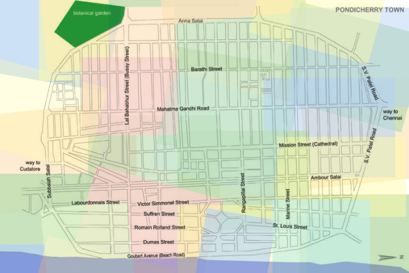


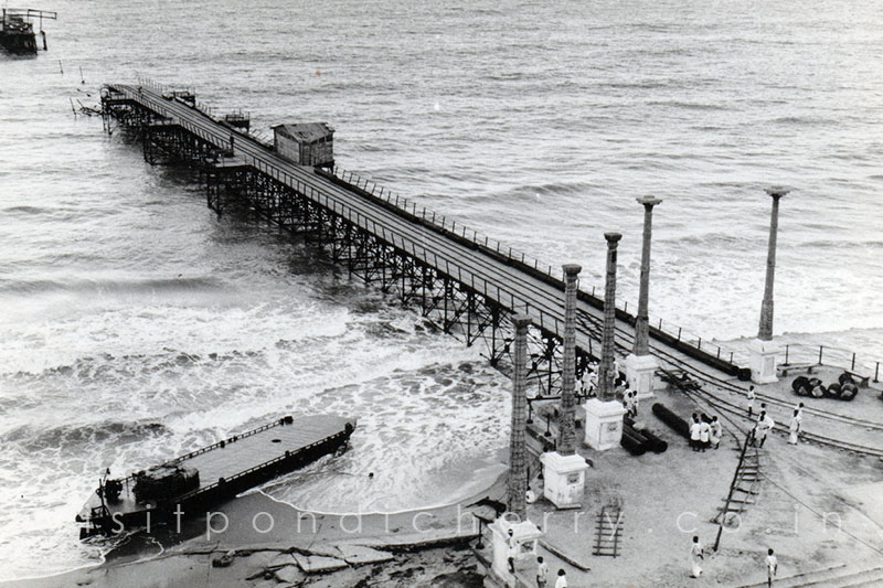
In 1674, the French East India Company established a trading center at Pondicherry, which would later become the principal French settlement in India. Between 1668 and 1674, five trading posts were set up along the southern coast of India, with Pondicherry emerging as the most significant. The city was uniquely divided by a canal into two distinct areas: the French Quarter and the Indian Quarter, each reflecting different cultural and architectural influences.
During the Anglo-French wars (1742–1763), Pondicherry changed hands several times. On January 16, 1761, the British captured the city from the French, only to return it under the Treaty of Paris in 1763, following the conclusion of the Seven Years' War. In 1792, Venant de Durfort, the son of the Count of Civrac, was appointed governor of Pondicherry, largely due to the influence of his uncle, Emmanuel-Félicité, Duke of Duras, who had become president of the Compagnie des Indes in 1788.
Venant, after a distinguished military career in Europe, worked diligently to suppress revolutionary ideals emanating from France, which threatened the economic stability of the colony. He focused on maintaining strong commercial ties with other European powers, particularly strengthening relations with England through his marriage to Catherine Browne of Kilmor. Venant passed away in July 1792 and was laid to rest at Our Lady of Angels Church in Pondicherry.
In 1793, amidst the Wars of the French Revolution, the British once again seized control of Pondicherry during the Siege of Pondicherry. However, it was returned to France in 1814 following the Napoleonic Wars. Even after the British established dominion over the majority of India in the late 1850s, the French were permitted to retain their territories, including Pondicherry, Mahé, Yanam, Karaikal, and Chandernagore. These areas remained part of French India until 1954, when they were peacefully integrated into the Indian Union, marking the end of an era of French colonial rule.


On 18 March 1954, several municipalities in Pondicherry passed resolutions demanding an immediate merger with India. Shortly thereafter, similar resolutions were adopted by the municipalities of Karaikal. These calls for unification had the strong backing of the French Indian Councillors—commonly referred to as Ministers—as well as the President of the Representative Assembly. Representing nearly 90% of the population of the French territories in India, the municipalities urged the French Government to take urgent and necessary action to respect the wishes of the people.
The Government of India assured the people of French India that their cultural and other rights would be fully safeguarded. India was not pushing for an immediate transfer of de jure (legal) sovereignty from France. Instead, it proposed a de facto (practical) transfer of administration, allowing French sovereignty to continue formally until constitutional adjustments could be made by both countries. This process was expected to take time, whereas the people's overwhelming demand was for an immediate merger without the need for a referendum.
India believed that their proposal would facilitate a fair and amicable settlement, and expressed readiness to engage in negotiations with France based on this approach.
On 18 October 1954, a decisive general election was held among 178 members of the Pondicherry Municipal and Commune Panchayats. An overwhelming 170 voted in favor of merging with India, while only 8 opposed it.
Following this, the de facto transfer of the French Indian territories—including Pondicherry, Karaikal, Mahé, and Yanam—took place on 1 November 1954, and they were collectively established as the Union Territory of Pondicherry.
However, it wasn’t until 16 August 1962 that the de jure (legal) transfer of sovereignty was formalized through an agreement between France and India, fully completing Pondicherry’s transition into the Indian Union.